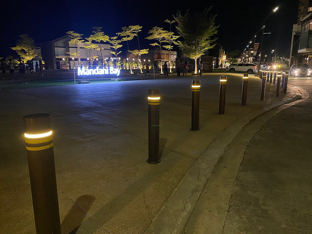
A condo is walkable only if the routes from its pedestrian gate to the places you go every week — work, school, groceries, a clinic — are short, continuous and safe to cross at the hours you would use them. A famous district name or a “minutes away” claim does not prove that. Cebu’s master-planned estates, such as Cebu Business Park, Cebu IT Park, Mandani Bay and The Mactan Newtown, put homes, offices and shops in one plan, which usually makes walks inside them simpler. The trade-off: units there are generally listed at higher prices, and the walk to anything outside the estate still depends on ordinary city roads.
Key points
- Start from your destinations, not the building. A condo can be walkable for one buyer and car-dependent for another.
- Check six things: destination, building entrance, route, crossings, comfort (shade, rain, flooding) and accessibility.
- Map walking times are estimates. Walk and time the route yourself, at your commute hour and after dark.
- Planned districts help inside their boundaries. Check whether the walkways you are shown are finished or a future phase.
Six tests for a walkable condo
| Test | What to check | Warning signs |
|---|---|---|
| 1. Destination | The two or three specific places you will walk to most, not “the area” | The brochure lists landmarks you will never use |
| 2. Building entrance | Where the pedestrian gate is, its opening hours and whether it faces your route | Only a vehicle entrance on the far side; gate closed at night |
| 3. Route | A continuous footpath from gate to destination, its width and obstructions | Footpath ends, is used for parking or vending, or is broken by driveways and drainage works |
| 4. Crossings | Every road you must cross, and whether wide roads have signals | Crossing four or more lanes without signals; long detours to a footbridge |
| 5. Comfort | Shade, covered walkways, rain, and whether the route floods | Long exposed stretches; water pooling after rain; the address flagged in hazard maps |
| 6. Access and night | Kerb ramps, steps and slopes; lighting and foot traffic after dark | Stairs-only connections; dark stretches; steep hills |
A building that passes all six for your main destination is walkable for you. If it fails one badly — a long hill or an unsignalled crossing of a wide road, say — treat it as a short-drive address and compare its price on that basis.
Why walking-time estimates mislead
A pin on a map and a walking time from an app leave out several things that decide whether you will actually walk:
- Straight-line versus route distance. Two places 300 metres apart can be a kilometre apart on foot when a wall, a creek or a gated compound sits between them. Near Cebu IT Park, for example, the map shows no public street from Lahug’s St. Lawrence Street side into the park, so the mapped route detours to Salinas Drive.
- Waiting time. App estimates assume a steady pace and do not count the minutes spent waiting to cross a busy road.
- The real exit. The pin is usually the building’s centre, not its pedestrian gate.
- Heat and rain. A walk you would take at 7 a.m. you may avoid at noon or in a downpour.
If you do quote a distance, note how it was measured and when. Our IT Park walking guide shows one way to do this using OpenStreetMap routing, with the method stated.
Cebu’s planned districts and what they change
A master-planned estate puts offices, homes, shops and open space under one plan and one estate management. Inside the estate, that usually means connected streets, marked crossings and maintained walkways. It does not guarantee that every route is shaded, that every phase is built, or that the roads around the estate are easy to cross.
| District | Developer and size | Documented walking features | Check before you buy |
|---|---|---|---|
| Cebu Business Park, Cebu City | Ayala Land; 50 hectares | Alveo describes wide walkways and offices, hotels, shops and a sports club within walking distance inside the estate; Ayala Center Cebu is inside it | Whether the building is inside the estate or only nearby; crossings of the estate’s main avenues |
| Cebu IT Park, Cebu City | Ayala Land; on the old Lahug airport site | Internal streets with many mapped zebra crossings (OpenStreetMap, October 2026); Ayala Malls Central Bloc inside | Which side of the park you enter from; Salinas Drive and Gov. M. Cuenco Avenue crossings |
| Mandani Bay, Mandaue City | HTLand (Hongkong Land and Taft Properties); 20 hectares | A 500-metre waterfront boardwalk that HTLand announced in June 2025 would open daily from 5 a.m. to 10 p.m. | Which phases and shops are complete; current boardwalk hours; the route to destinations outside the township |
| The Mactan Newtown, Lapu-Lapu City | Megaworld; 30 hectares | Condominiums, offices, hotels, a school, retail and a beachfront in one township | Distance from your tower to the specific office, school or beach area you will use; routes beyond the township |
Facts are from the developers’ own pages or press reports listed in the sources. Ayala also lists Gatewalk Central (Mandaue), South Coast City (South Road Properties) and Seagrove (Mactan) among its Cebu estates; we have not assessed walking conditions there.
Examples in each district
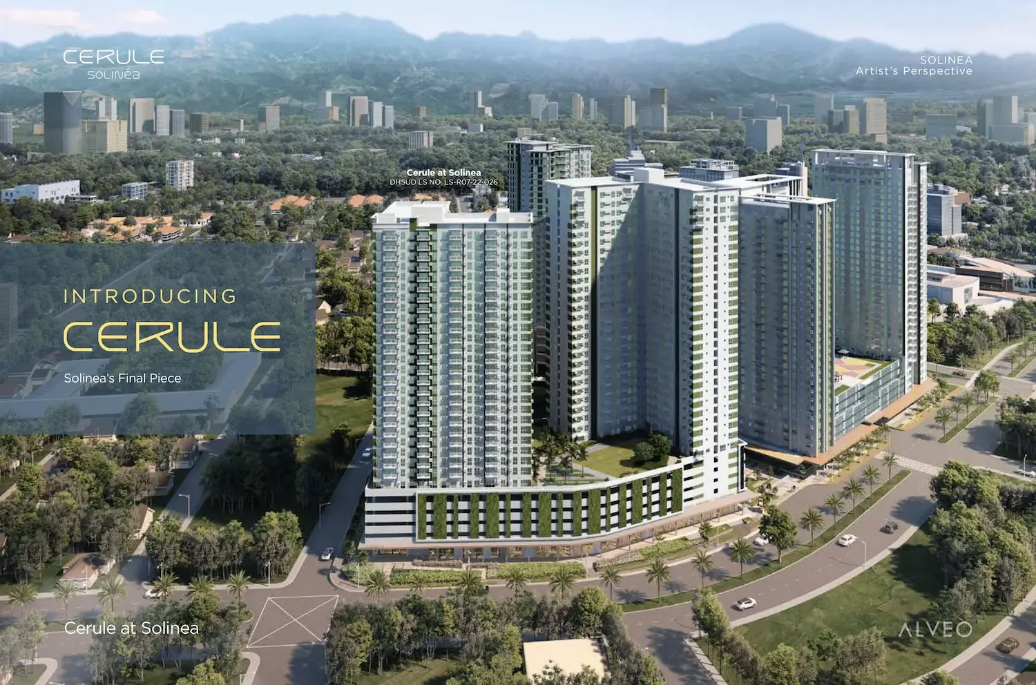
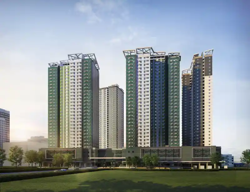
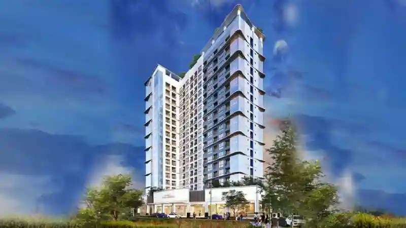
Prices are developer list prices recorded on our project pages, read on 3 October 2026. They change, units sell out, and parking and other charges may be extra — ask for a current dated computation.
Outside the planned districts
Plenty of condos outside these estates are walkable to something useful — a mall across the street, a university, a hospital. The same six tests apply. Two patterns are worth watching for. A building may be close to a destination but separated from it by a wide road with no signal, or entered from a side street that adds a long detour. And a mixed-use project with shops on its ground floor covers daily errands well, but only helps with work if your office is also within reach.
Questions to ask the developer or building administration
- Where are the pedestrian gates, and what are their opening hours?
- Are the covered walkways, boardwalks or plazas in the brochure finished, or part of a later phase? If later, when?
- Is there bicycle parking, and are bicycles allowed in lifts?
- Does the building or estate run a shuttle, and on what schedule?
- Has the access road or entrance flooded in heavy rain? Check the address in HazardHunterPH as well.
- Are there step-free routes from the lobby to the street for wheelchairs and strollers?
A quick route check for any address
- List your top destinations and plot each route from the building’s pedestrian gate.
- Mark every road crossing and note whether it has signals.
- Walk the route at your commute hour, then after dark, timing it with your phone.
- Note shade, footpath gaps, slopes and anywhere water collects.
- Decide honestly whether you would walk it daily. If not, price the unit as a short-drive address.
Frequently asked questions
Which areas of Cebu are designed for walking?
The clearest examples are master-planned estates where homes, offices and shops sit in one plan: Cebu Business Park and Cebu IT Park in Cebu City, Mandani Bay in Mandaue and The Mactan Newtown in Lapu-Lapu. Inside them, routes are usually shorter and more predictable. The walk out of an estate can be as difficult as anywhere else, so test the routes you will actually use.
Is a condo next to a mall automatically walkable?
For errands, it can be very convenient. For work, school or a clinic, it depends on where those places are and how you would get there on foot. Apply the same tests: the building’s pedestrian gate, the route, the crossings and the conditions at the hours you would walk.
How accurate are walking times on map apps?
They are estimates based on mapped paths and an assumed steady pace. They usually do not account for waiting at crossings, detours around blocked footpaths, heat or rain, or a building gate on a different side from the map pin. Walk and time the route yourself.
Will a walkable condo rent or resell better?
It may appeal to some tenants and buyers, but we have no Cebu data that measures a walkability premium in rents or resale prices, so treat it as a lifestyle benefit to price for yourself rather than as a measured financial advantage.
Test the walk before you commit
Tell us where you will walk to most — an office, a school, a hospital or a mall. We will shortlist buildings in that area, arrange viewings and plan each walk from the building’s pedestrian gate so you can check the route yourself at the hours that matter.
Plan a walking shortlist WhatsApp +63 917 550 8229Sources and notes
- Alveo Land — Cebu Business Park estate overview — 50-hectare Ayala estate; describes wide walkways and establishments within walking distance; accessed 5 October 2026
- Alveo Land / Property Report — Ayala Land’s Cebu estates — lists Ayala’s Cebu estates: CBP, Cebu IT Park, Gatewalk Central, South Coast City, Seagrove; published 28 October 2022
- OpenStreetMap — Cebu I.T. Park and surrounding streets — crossings and street connections read on 5 October 2026
- The Freeman (Philstar) — Mandani Bay waterfront boardwalk to open by July — 20-hectare HTLand township; 500-metre boardwalk, public access 5 a.m. to 10 p.m.; published 6 June 2025
- Megaworld International — The Mactan Newtown — 30-hectare township in Lapu-Lapu City with condominiums, offices, hotels, a school, retail and a beachfront; accessed 5 October 2026
- Avida Land — Avida Towers Riala — within Cebu IT Park; accessed 5 October 2026
- HazardHunterPH (DOST-PHIVOLCS GeoRiskPH) — official tool for checking flood and other hazard assessments for a location
- Prices — developer list prices recorded on PropertEase project pages, read on 3 October 2026; inclusions such as parking and VAT not recorded