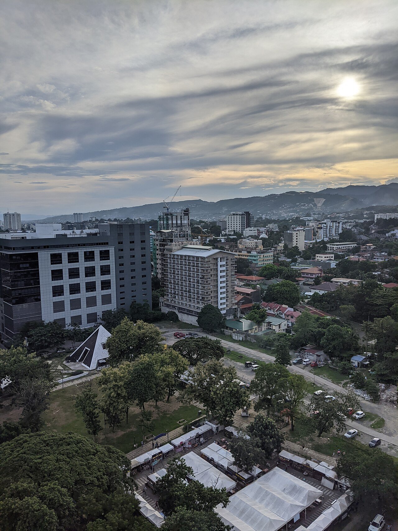
The condos with the most predictable walk to Cebu IT Park are the ones inside it — 38 Park Avenue, Avida Towers Riala and The Wave Towers — because their routes stay on the park’s internal streets, which have many mapped pedestrian crossings. Several Lahug buildings look just as close on a map, but there is no mapped public street from their side into the park, so the walk detours to Salinas Drive. The trade-off: inside-park units are listed at higher prices; a nearby address can save money, but whether it is genuinely walkable depends on one specific route that you should test on foot.
Key points
- Distance on a map is not a walking route. Check which entrance you would use and what you would walk along or cross to reach it.
- On OpenStreetMap, IT Park’s street connections are on the Salinas Drive side, the Gov. M. Cuenco Avenue side and San Miguel Road (Apas). None is mapped on the west side facing Lahug’s La Guardia–St. Lawrence streets.
- Distances below were computed from map data on 5 October 2026 with a stated method. They are not walking times.
- Heat, rain, flooding, night lighting and sidewalk condition decide whether you will actually walk. Test these yourself.
Where you can walk into IT Park
Cebu IT Park is an Ayala Land estate on the site of the old Lahug airport. Addresses inside it give the barangay as either Apas or Lahug. Its internal streets include Jose Maria del Mar Avenue, Geonzon Street, V. Padriga Street, I. Villa Street, A. Abad Street and India Street. We checked how these connect to the streets outside, using OpenStreetMap data downloaded on 5 October 2026:
| Side of the park | Mapped connections | What to check on foot |
|---|---|---|
| South — Salinas Drive | Geonzon Street (a signal-controlled crossing is mapped near this junction); the southern end of Jose Maria del Mar Avenue and a footway beside it | Salinas Drive is mapped as a four-lane primary road. If you come from across it, check whether the crossing you would use has signals and how long you wait. |
| East — towards Gov. M. Cuenco Avenue | V. Padriga Street (with a mapped sidewalk), Road 15 and the north-eastern end of Jose Maria del Mar Avenue, which meets Gov. M. Cuenco Avenue | Several crossings on Gov. M. Cuenco Avenue are mapped as unmarked or zebra crossings without signals. |
| North — Apas | San Miguel Road | Residential streets; check lighting and footpaths after dark. |
| West — Lahug (La Guardia, St. Lawrence) | No public street connection mapped | Ask the building administration and look on site whether any gate or path exists; do not assume one. |
OpenStreetMap is mapped by volunteers. Gates, passages through buildings and opening hours may be missing or out of date, and a mapped path is not always open to the public.
Inside the park, the map shows many zebra crossings along Jose Maria del Mar Avenue and Geonzon Street, and raised crossings on V. Padriga Street. On foot, that usually means a shorter, more predictable walk than on the arterial roads outside.
Condos inside IT Park: routes on internal streets
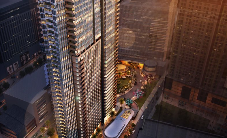
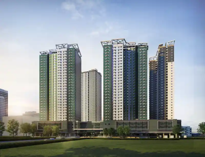
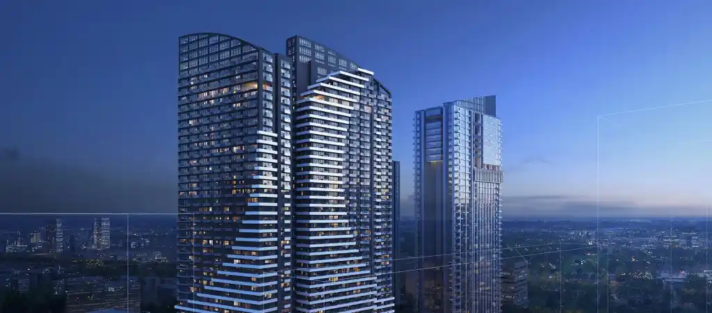
Distances: OSRM foot routing on OpenStreetMap data, computed 5 October 2026, from the mapped building centre (or the middle of India Street for The Wave Towers, whose site is not mapped) to the centre of the Ayala Malls Central Bloc block. Lobby exits and mall entrances will change the figure. Prices are developer list prices recorded on our project pages, read on 3 October 2026; parking and other charges may be extra.
From Lahug’s La Guardia–St. Lawrence streets: close on the map, longer on foot
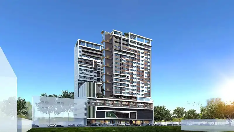
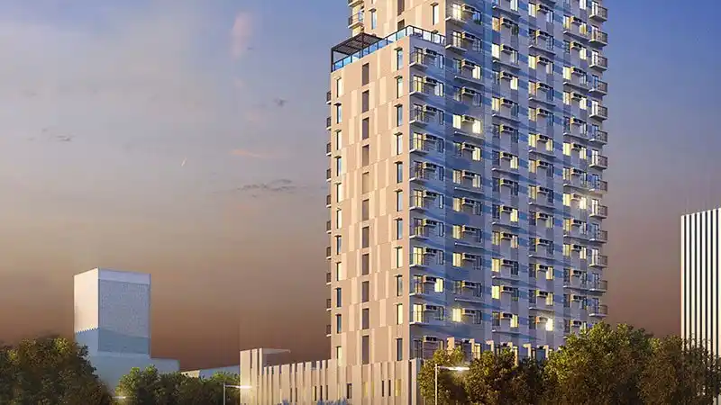
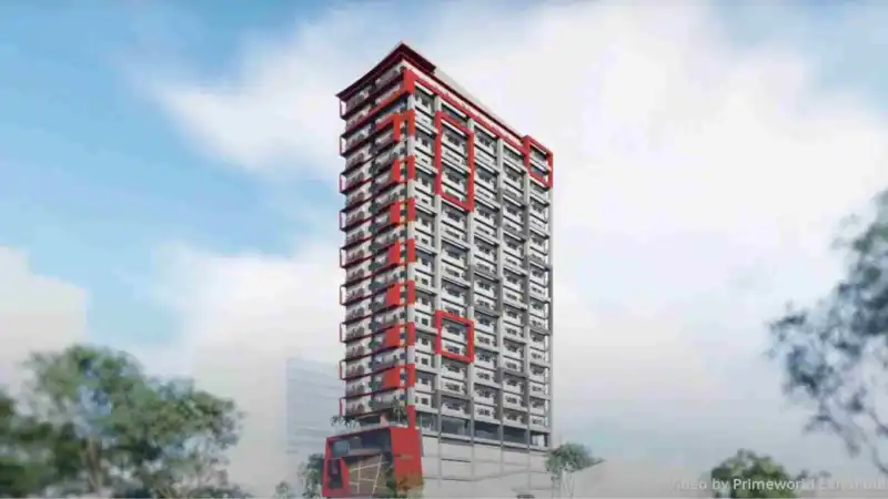
Just west of the park is a residential pocket of narrower streets — St. Lawrence Street (mapped as Saint Laurence Street), La Guardia Street and La Guardia 1st Street. Several condos are here, and their straight-line distance to IT Park is short. The mapped walking route, though, does not go straight in:
- Walk down La Guardia Street to Salinas Drive.
- Follow Salinas Drive south-east on the same side as the park. The map does not require you to cross Salinas Drive itself, but you pass side-street junctions, and the map records no sidewalk details for this stretch.
- Turn into IT Park at Geonzon Street, where a signal-controlled crossing is mapped at the junction.
On the same map data and routing method, starting points along St. Lawrence Street measured about 0.4–0.7 km to the Geonzon Street entrance and 0.8–1.2 km to the Central Bloc mall block. Points along La Guardia 1st Street measured about 0.4–0.6 km and 0.8–1.1 km. Where you land in that range depends on the building’s position along the street.
Walk from the building’s gate to your actual destination on a weekday morning and again after dark. Note where the footpath narrows or disappears, where cars park on it, and how long you wait to cross. If the route only works by car or motorbike, price the unit as a short-drive address, not a walking one.
What a map will not tell you
- Crossings: a mapped crossing may be unmarked, faded or ignored by drivers. Signals matter most on four-lane roads such as Salinas Drive and Gov. M. Cuenco Avenue.
- Sidewalks: width, continuity, obstructions, ramps and drainage covers. For a stroller or wheelchair, check every kerb along the route.
- Shade and heat: a route that is fine at 7 a.m. can be uncomfortable at midday. Note covered walkways and tree cover.
- Flooding: look the address up in HazardHunterPH, and ask the building administration and nearby shops whether the route floods in heavy rain.
- Night conditions: lighting, open shops and foot traffic after the evening shift change; IT Park itself stays busy late, but the streets leading to it may not.
- Building rules: whether your condo has a pedestrian gate on the side facing the park, and its opening hours.
A self-check you can run in an afternoon
- Write down the two or three places you will walk to most often — a specific office tower, a school, a grocery, the mall.
- Plot the route on a map from the building’s pedestrian gate, not its pin. Note which roads you walk along and which you cross.
- Walk it at your real commute hour, then again at night. Time it with your phone and note every wait at a crossing.
- Repeat in the rain if you can, or ask residents and guards what happens in a downpour.
- Compare the result with the price gap to an inside-park unit. A cheaper unit that you end up driving from is a different purchase.
Projects we have not featured as walkable, and why
Hillside projects on Nivel Hills and Veterans Drive — Marco Polo Residences, Auria Residences and 128 Nivel Hills — and 32 Sanson by Rockwell on Sanson Road are roughly a kilometre or more in a straight line from the park’s edge on the same map data, with routes that include uphill sections. They may suit you as short-drive addresses, but we have not described them as walkable. Mandtra Residences, which some listings group with IT Park, is in Tipolo, Mandaue City. For these and other nearby options, see condos inside vs near IT Park.
Frequently asked questions
Which condos have the shortest walk to the middle of IT Park?
Projects inside the park, because their routes stay on IT Park’s internal streets. On OpenStreetMap data, the mapped walking route from 38 Park Avenue to the Ayala Malls Central Bloc block measured about 0.4 km, and from Avida Towers Riala about 0.5 km (OSRM foot routing, 5 October 2026, building centre to mall centre). Real entrances and lobby exits will change the figure.
Is a condo on St. Lawrence Street or La Guardia 1st Street walkable to IT Park?
It can be, but not directly. The map shows no public street linking that Lahug pocket to IT Park’s west side, so the mapped route runs down La Guardia Street to Salinas Drive, a four-lane road, and enters the park at Geonzon Street. Walk it yourself at the hours you would use it before deciding.
Why don’t you give walking times?
Walking time depends on the exact building exit, the entrance you use, waiting at crossings, heat, rain and your own pace. A measured route distance with a stated method is more reliable; time it yourself on a weekday at your commute hour.
Does a developer’s “minutes from IT Park” claim tell me the walking route?
No. Such claims usually describe a drive or a straight-line distance and rarely say which point of IT Park they measure to. Ask for the walking route, or check it on a map and on foot.
Walk the route with us before you reserve
Shortlist two or three buildings and tell us where you will walk to most — your office building, a school or the mall. We will arrange viewings and plan the walk between each lobby and that destination so you can test it at your own commute hour.
Plan a route check WhatsApp +63 917 550 8229Sources and notes
- OpenStreetMap — Cebu I.T. Park area (relation 16298925) and surrounding streets — streets, crossings and boundary read via the Overpass API on 5 October 2026 (data timestamp 2026-10-05); volunteer-mapped data can be incomplete or out of date
- FOSSGIS OSRM routing (foot profile) — route distances computed on 5 October 2026 between building or street points and the Ayala Malls Central Bloc block or the Geonzon Street entrance; distances are approximate and not walking times
- Avida Land — Avida Towers Riala — located within Cebu IT Park; accessed 5 October 2026
- Cebu Daily News — El Camino Developers, Cebu Landmasters top off 38 Park Avenue — 38 Park Avenue in Cebu IT Park
- SunStar — Benedictos to build condo tower in Lahug — BE Residences on St. Lawrence St., Barangay Lahug; published 7 November 2018
- Citrineland — The Median Flats — address St. Lawrence Street, Apas, Cebu City; accessed 5 October 2026
- Primeworld Land — Primeworld Pointe — La Guardia First St., Lahug; vicinity map lists Cebu IT Park at 750 m without stating the measuring points; accessed 5 October 2026
- HazardHunterPH (DOST-PHIVOLCS GeoRiskPH) — official tool for checking flood and other hazard assessments for a location
- Prices — developer list prices recorded on PropertEase project pages, read on 3 October 2026; inclusions such as parking and VAT not recorded